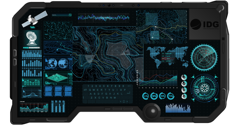
Integrated Remote Sensing for the Arctic
Integrated Remote Sensing for the Arctic (IRSA) is a dual-use System of Systems optimized for remote sensing data acquisition and decision support analytics, communications and augmented navigation for the Arctic.
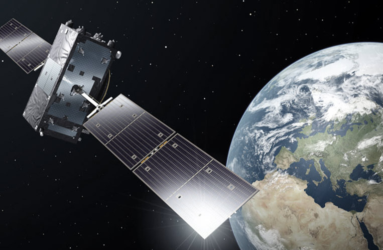
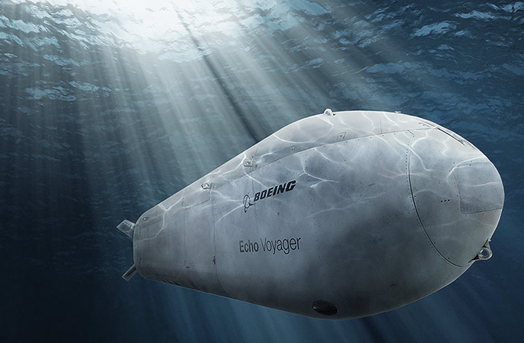
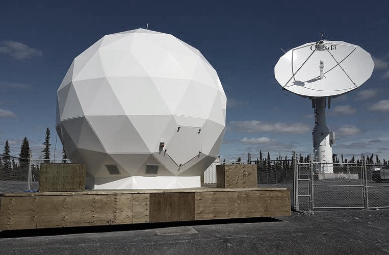
The system of systems platforms integrate satellite, high and medium altitude long-endurance piloted aircraft including optionally piloted aircraft and sea-surface and subsea platforms for remote sensing or communications missions.